Free Shipping
on most orders over $99
AO Rewards
Earn 2% on every purchase
Price Guarantee
We match advertised prices
Product details
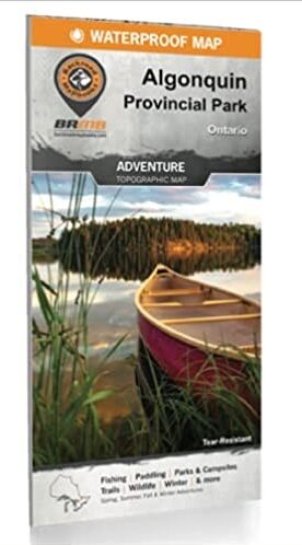
Printed on durable waterproof and tear-resistant material – it even floats! Countless points of interest, paddling routes, hiking trails, campsites, beaches, and more! Anglers will find fish species listed for lakes and rivers, boat launch locations and more. Dual-sided 86 x 117 cm (34 x 46.25”) map offers unparalleled, close-up detail of the Highway 60 Corridor on one side and the entire provincial park on the other side. Park planning tools including camping, detailed trail and paddling information, trout stocking, park regulations and contact details. Seamless map coverage requires no page turning. UTM grids with latitude and longitude make navigating the map easy. Everything you need to plan your Algonquin Provincial Park Adventure!
Related Products

Adventure Map Mattawa River
$13.95
Fuel Can Stabilizer
$9.99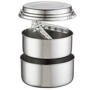
Alpine 2 Cook Set
$109.45
Bucksaw 24″ Walnut With Bag
$224.00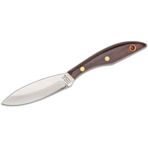
Belt Ss Rosewood Blade R1S Original
$109.98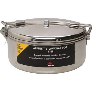
Stowaway Cook Pot 1.6 L
$49.95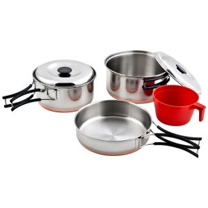
Ridgeline Cook Set
$139.98