ONTARIO PARKS
Map French River Route Canoe Planning
$18.95
In advance, we use them for planning, on our trips we use them for navigation, and afterwards, we use them to reminisce about all the places we’ve been.
In stock
Free Shipping
on most orders over $99
AO Rewards
Earn 2% on every purchase
Price Guarantee
We match advertised prices
Product details
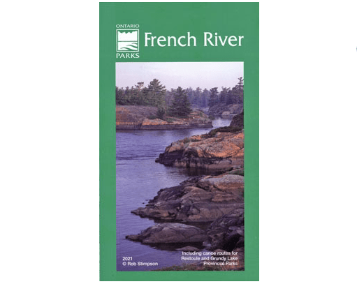
The new waterproof edition of French River Provincial Park Map can be helpful when both planning and taking your trip. It shows basic vegetation and water detail, as well as access points, campsites, portages, and other points of interest to paddlers, with trip planning guidelines and other info around the map edges. This is a good general reference map for the Park.

