Free Shipping
on most orders over $99
AO Rewards
Earn 2% on every purchase
Price Guarantee
We match advertised prices
Product details
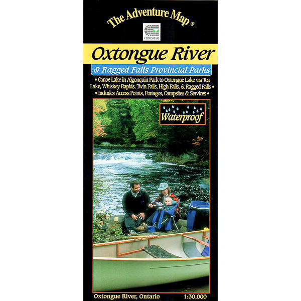
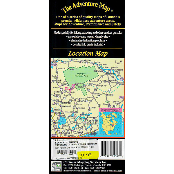
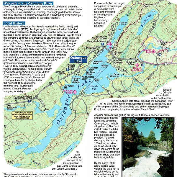
There are several access points and routes to choose from including the Oxtongue River itself (either downstream or upstream), Oxtongue Lake, or the Park Lake to Bluebell Lake section of Algonquin. Highlights along the routes include thundering Ragged Falls, Whiskey Rapids, Twin Falls, and High Falls.
With campsites, portages, access points, rapids, falls, historic features, hiking trails, facilities and lots of other helpful information this map makes an excellent resource for daytrippers and those seeking a short two to three day adventure.
Related Products

AQUATABS
Water Purification 30 X 20L
$25.00
GSI OUTDOORS
Dualist Complete Cook Set
$129.98
MSR
Quick Solo System Cook Set
$69.98
GSI OUTDOORS
Bugaboo Frypan 12″
$52.95
MSR
Fuel Bottle Crp Cap 20 Oz
$39.95
CHRISMAR
Adventure Map Mattawa River
$13.95

GREY OWL
Guide Cherry Canoe Paddle
$95.00
CHRISMAR