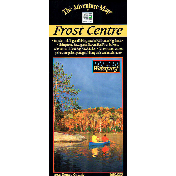

Adventure Map Frost Centre Area
$13.95
This popular map showcases over 500 km2 of wilderness in the Haliburton Highlands/Muskoka Lakes region of Ontario.
A great destination for paddlers and backpackers alike, this map covers stretches from Livingstone and Fletcher lakes in the north, to Halls Lake in the south and from Lake of Bays to the west to Kennisis and Kimball lakes in the east.
Only 1 left in stock
Free Shipping
on most orders over $99
AO Rewards
Earn 2% on every purchase
Price Guarantee
We match advertised prices
Product details
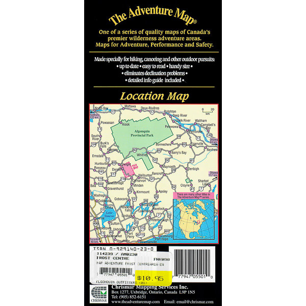
This completely original map (we make our maps from scratch, just like the government did when making its topo series, only we have chosen a much higher higher standard) features extraordinary topographic and water details, as well as hiking trails, campsites, portages, access points, facilities and other attractions. The back side is covered with colour photos and lots of information about natural history, suggested routes, safety tips, contact information and much more.
Following Chrismar’s popularization of this area over 10 years ago with our first Frost Centre & Area Adventure Map®, the local municipality has now implemented a revenue-capturing user-pay system for overnight visits (day-use is free).
Related Products

Bugaboo Frypan 12″
$52.95
Crunchit Recycle Tool
$12.99
Water Purification 30 X 20L
$25.00
Belt Ss Rosewood Blade R1S Original
$109.98
Dualist Complete Cook Set
$129.98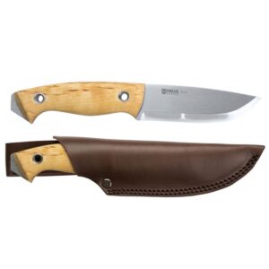
Utvaer Tool
$299.25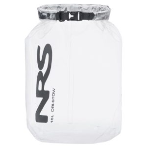
15L Dri-Stow Sack Dry bag
$29.95