Free Shipping
on most orders over $99
AO Rewards
Earn 2% on every purchase
Price Guarantee
We match advertised prices
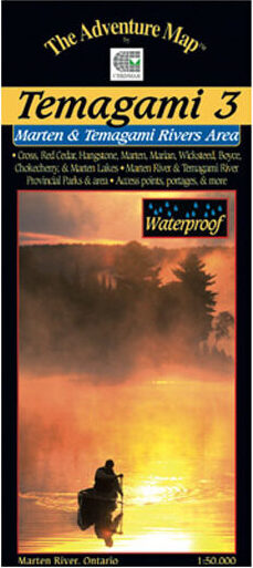
Product details
Lots of fine paddling lakes here, and Marten River Provincial Park smack dab in the centre of it all – a great base of operations for your trip. In addition to great campsites and other conveniences, the park has a replica Logging Camp that will take you back to the old days. Most of east half of the map covers the Nipissing Game Preserve where a noticeable abundance of wild animals can be seen – no hunting or trapping is allowed there.
This map includes the area from the west tip of Wicksteed Lake and the railway to the east, Jumping Caribou Lake to the north, Cross Lake and the northern part of Temagami River to the west, and Red Cedar Lake to the south. We also show the southern Temagami River – a popular whitewater route – on the back side.
At 1:50,000 scale this map is larger scale than our other Temagami maps and shows considerably more detail than government topos of the same scale. Campsites, portages, access points, lodges are included, plus the incredibly detailed land and waterscape you’ve come to expect from The Adventure Map™. The back side is covered with colour photos and text detailing the natural and human history of the area along with suggested routes, safety tips, contact info and much more.